Drone Services
Top Flight sees beyond the common use of drones, utilizing their full potential by pairing them with cutting-edge technology to offer detailed information tailored to your project. This ensures cost-effective data solutions to improve efficiency and help our clients make better informed decisions.
LIDAR Services
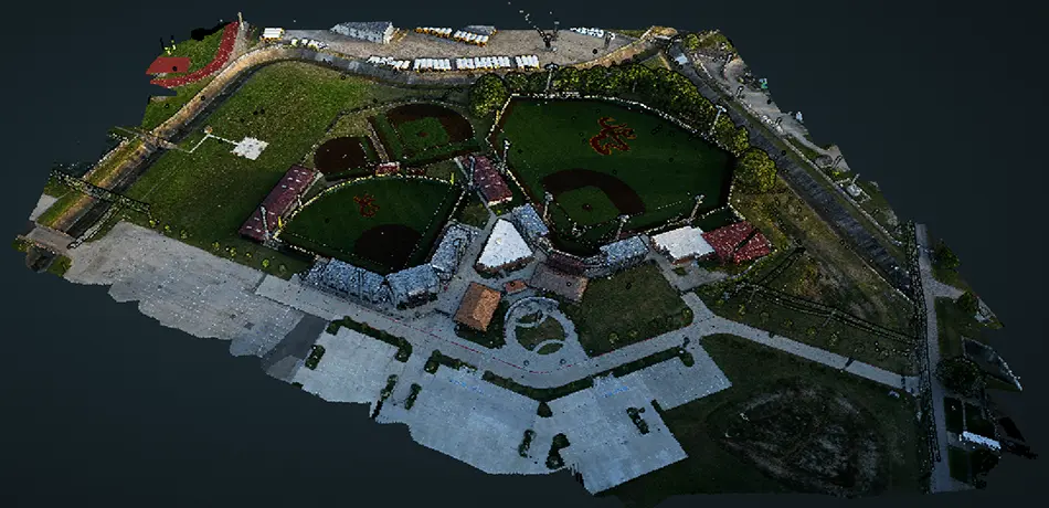
Light Detection and Ranging (LiDAR) is the core of Top Flight’s expertise. We offer a range of collection methods — including drone, airplane, and handheld SLAM — providing top-quality, customized data. Additionally, our online point cloud server is interactive, allowing you to engage directly and make informed decisions.
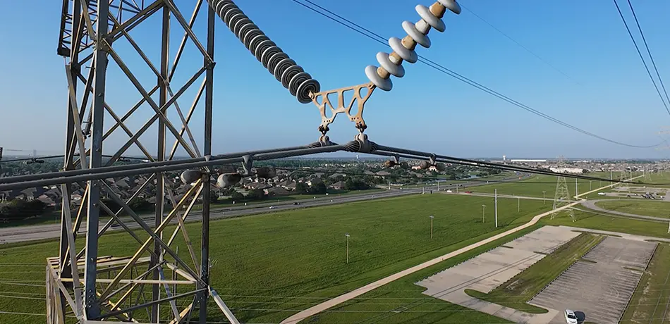
Inspection Services
Our drone inspections provide high-resolution imagery, detailed reports, and seamless GIS integration to support your infrastructure needs. Whether inspecting transmission and distribution lines, cell towers, solar panels, or water towers, Top Flight combines advanced technology and industry expertise to deliver the precision and reliability your project requires.
